
Santa Fe to Taos (SF2T) Trail Trip Report
Route: Santa Fe to Taos (SF2T) Trail, northbound
Dates: 2026/07/21-2026/07/29.
Hikers: Tumblin’ Tan and Buckaroo.
Duration: 9 days, 8 nights
Distance: Roughly 110-115 miles actually hiked; the full GPX route is about 129.75 miles
Elevation: GPX estimate: 6,955-11,983 ft; roughly +22,677 / -22,716 ft over the full mapped route
Navigation: Pam’s paper guide plus her GPX track loaded in OsmAnd for offline use
Photo album: https://photos.app.goo.gl/kDeAf7s32TpNdtd96
GPX / route file: https://caltopo.com/m/F0F357L
Guidebook: https://santafetotaos.org/product/the-santa-fe-to-taos-trail-offical-guidebook-2nd-edition/
Lighterpack: n/a
Mileage note: Our worksheet records mileage against the mapped route, but we used four alternates that cut roughly 15 miles from the full GPX. Depending on how the alternates are counted, we estimate that we actually walked about 110-115 miles. Lauren’s contemporaneous trail journal occasionally gives slightly different daily totals.
Overview
Lauren and I hiked the Santa Fe to Taos Trail northbound from Tuesday, July 21, through Wednesday, July 29, 2026. We began by taking the Blue Bus 300/200 from Taos at 7:55 a.m. to Santa Fe Plaza, arriving around 10:15. After a late breakfast at the French bakery in La Fonda, we started hiking at about 11:15 a.m. Nine days later, we reached the Taos Cow around 12:30 p.m. and celebrated with breakfast burritos.
The trip was a joy. The route was both more remote and more varied than we expected, with aspen groves, blooming wildflowers, open fields, mountain views, canyons, caves, dry and running creeks, and four alpine lakes: Katherine, Stewart, Pecos Baldy, and Truchas. We saw three bighorn rams at close range, cows in Infinity Field, dusky grouse, fence lizards, and plenty of other signs of wildlife. We also met a memorable collection of hikers and locals along the way.
The place that most struck Buckaroo was Puerto Nambe, where he felt he could have camped for many nights. The sound that remains most strongly associated with the trip, though, is from Infinity Field: coyotes howling from dusk to dawn, their calls bouncing off the canyon walls.
Planning and Expectations
We found the SF2T because Tumblin’ Tan had an event to attend in Taos on Saturday, July 18, and we started looking for backpacking trips in the area. That led us to Pam’s SF2T project.
Our main planning resources were Pam’s guide and GPX file, including the alternate routes she mapped. We eventually used four of those alternates. Our main concerns before starting were water availability and food quantity. Water turned out to be manageable with Pam’s information. Food was another story: we carried far too much, and after resupplying we ended up donating much of the excess to an already overflowing hiker box. Tumblin’ Tan also had very little appetite for much of the trip.
We expected the climb toward Lake Katherine to be one of the hardest parts because we had not specifically conditioned for the elevation and climbing.
Route and Logistics
| Item | Notes |
|---|---|
| Direction | Northbound, Santa Fe to Taos |
| Start transportation | Blue Bus 300/200 from Taos to Santa Fe |
| Finish transportation | We stayed in Taos for a couple of nights, revisited the Helene Wurlitzer Foundation, then took the Blue Bus 300/200 back to Santa Fe |
| Navigation | Pam’s paper guide plus GPX in OsmAnd for offline use |
| Resupply | One resupply at the Tres Ritos Members-Only storage unit |
| Permits / access | No issues |
| Water | We relied primarily on Pam’s water information |
| Trail marking | Pecos Wilderness trails were generally well marked; most forest roads were decently marked |
| Overgrown sections | Pam had marked problem areas such as Dockweiler Trail |
| Notable navigation error | On the descent toward Agua Piedra Campground we followed a deer path for about one-eighth of a mile before realizing we were off route |
Significant Route Deviations
We used four alternate routes:
- Comales Trail / FR 22: We used this to avoid ascending to Ripley Point during a thunderstorm.
- Ojitos Maes / FR 422: This substantial redirect avoided poorly marked trails and difficult pathfinding after our zero day at Agua Piedra.
- FR 438: We used the road walk instead of the switchbacks down to Rio Chiquito. This road had been part of SF2T v1.0; our impression was that Pam later changed the route to reduce the amount of road walking.
- Drake Canyon alternate / FR 437: We followed this alternate on the approach toward Taos.
Day-by-Day Report by Buckaroo
Day 1 - Tuesday, 2026/07/21: Santa Fe to the Winsor/Borrego area
Daily mileage: about 14 miles
Cumulative mileage: about 14 of ~130 miles
Camp elevation: about 8,500 ft
Water: Tesuque Creek
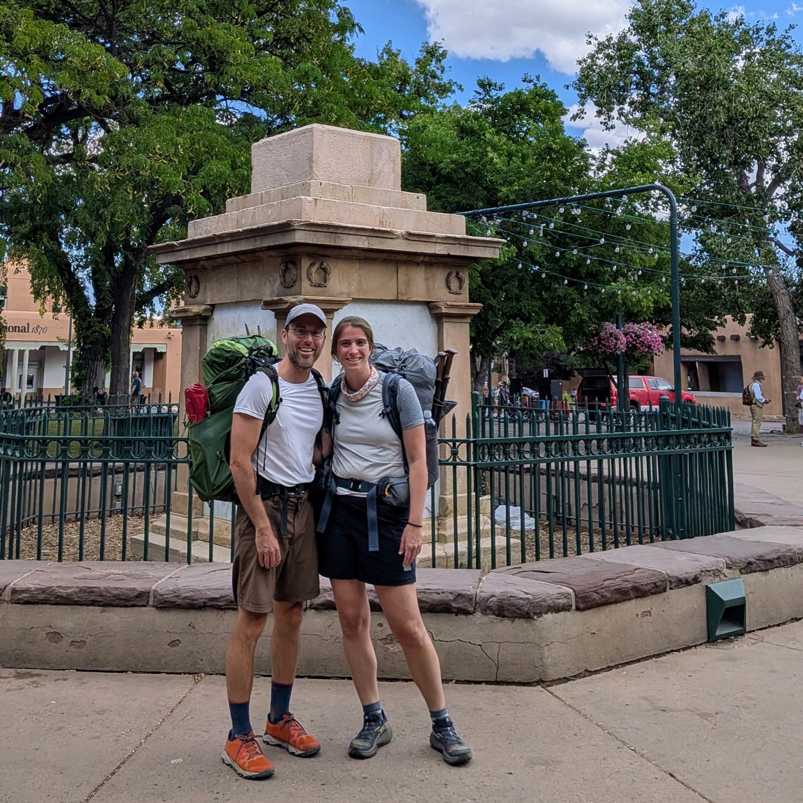 Santa Fe Plaza, right before we set out.
After breakfast at La Fonda, we left Santa Fe around 11:15 a.m. The first day took us out of the city and into the mountains, eventually reaching water at Tesuque Creek.
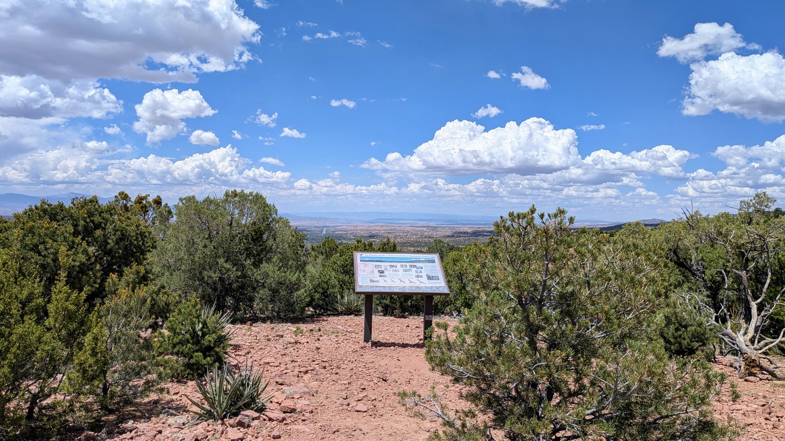 Climbing out on the Dale Ball Trail, still at the city’s edge.
We camped with a group that would become part of the social fabric of the trip: Sage, Spring Roll, Five-Star, Cobbler, and Kinnikinnick.
Day 2 - Wednesday, 2026/07/22: To Lake Katherine
Daily mileage: about 13 miles
Cumulative mileage: about 27 of ~130 miles
Camp elevation: about 11,750 ft
Water: Lake Katherine
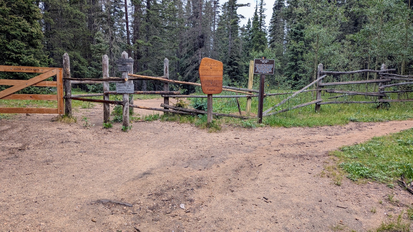 Passing through the gate into the Pecos Wilderness.
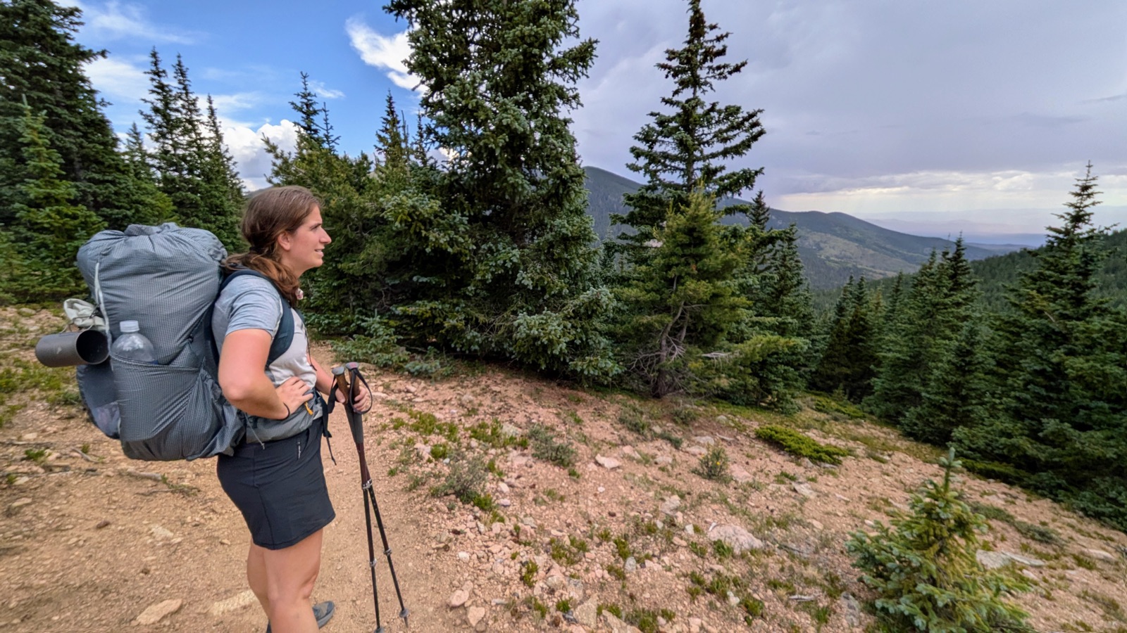
This was the climb we had worried about before the trip. We made it to Lake Katherine and avoided a thunderstorm, but the altitude and exertion made themselves felt. The next morning Buck woke with a splitting headache.
 Switchbacks on the final approach to Lake Katherine.
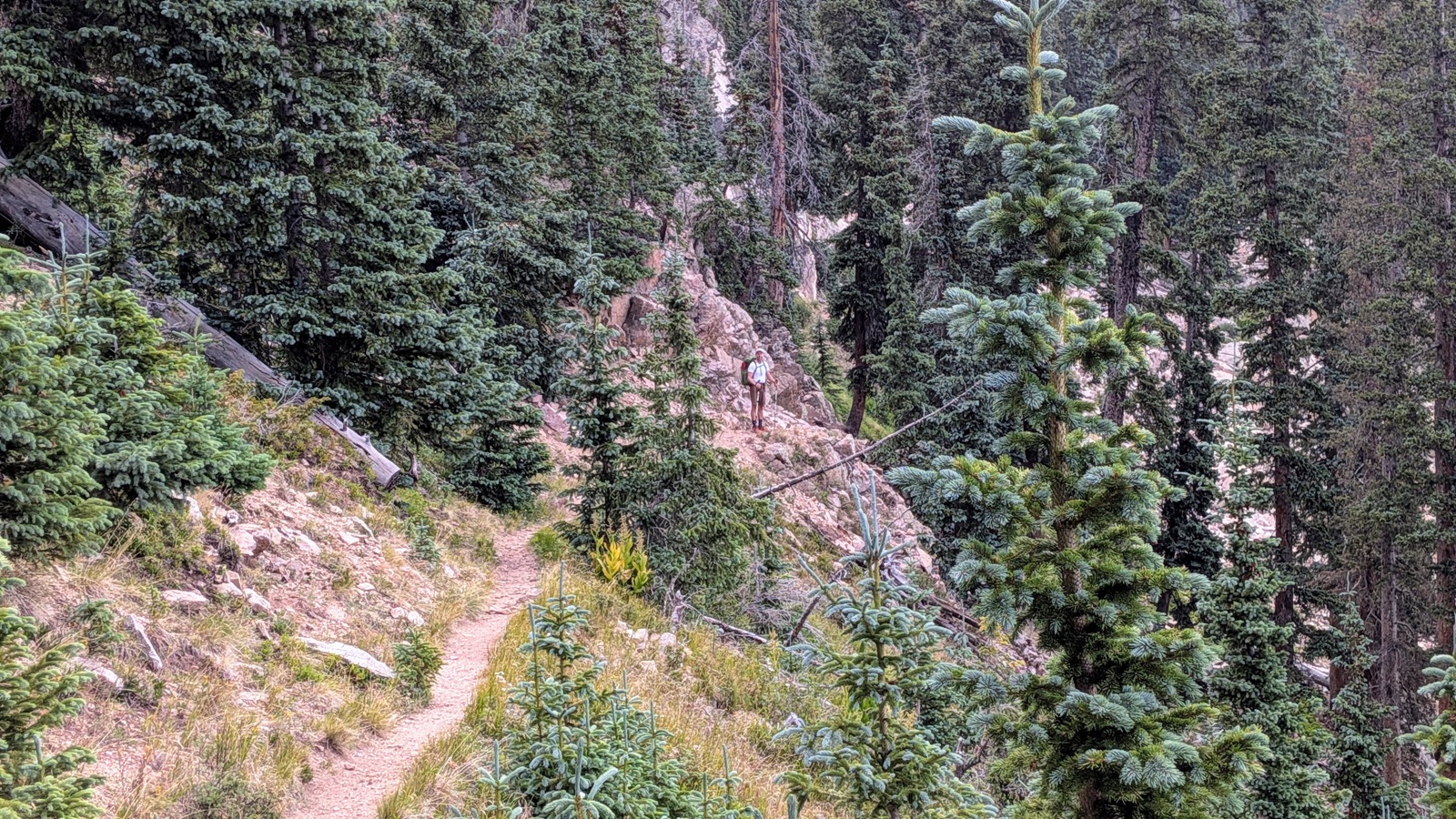 Buck, spent, just after the switchbacks.
We accidentally camped essentially right on the trail at Lake Katherine.
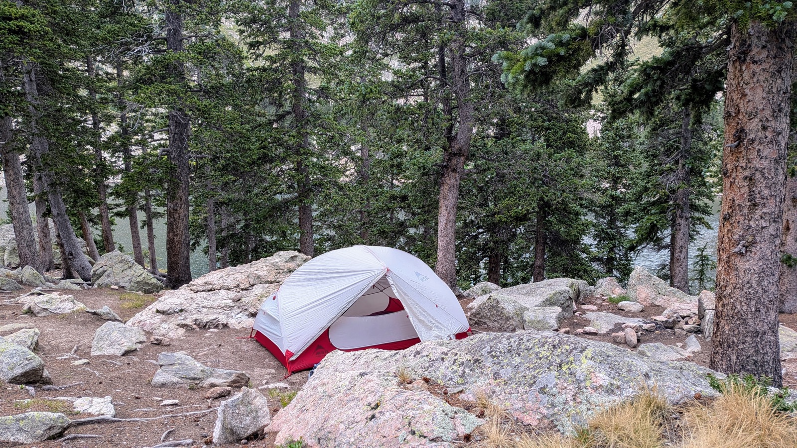 Camp, pitched a little too close to the trail, at Lake Katherine.
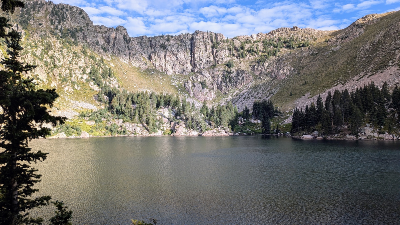 Lake Katherine, the first of the trip’s four alpine lakes.
Day 3 - Thursday, 2026/07/23: Toward Jack’s Creek
Daily mileage: about 15 miles
Cumulative mileage: about 42 of ~130 miles
Camp elevation: about 10,340 ft
Water: none at camp; we dry-camped
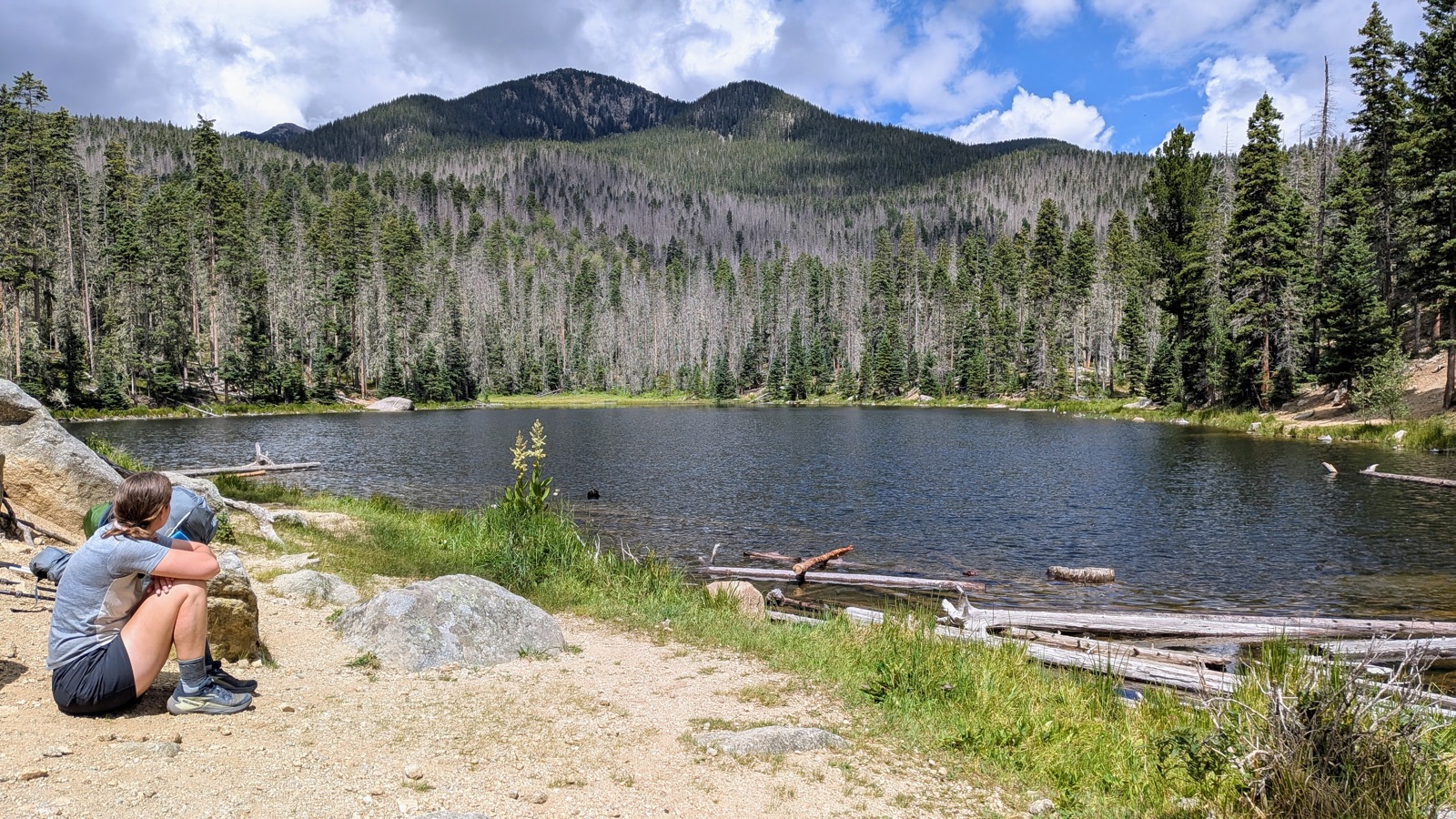 Stewart Lake, the second of the trip’s four alpine lakes.
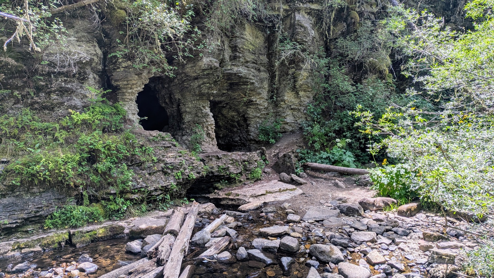 Caves along the Cave Creek Trail.
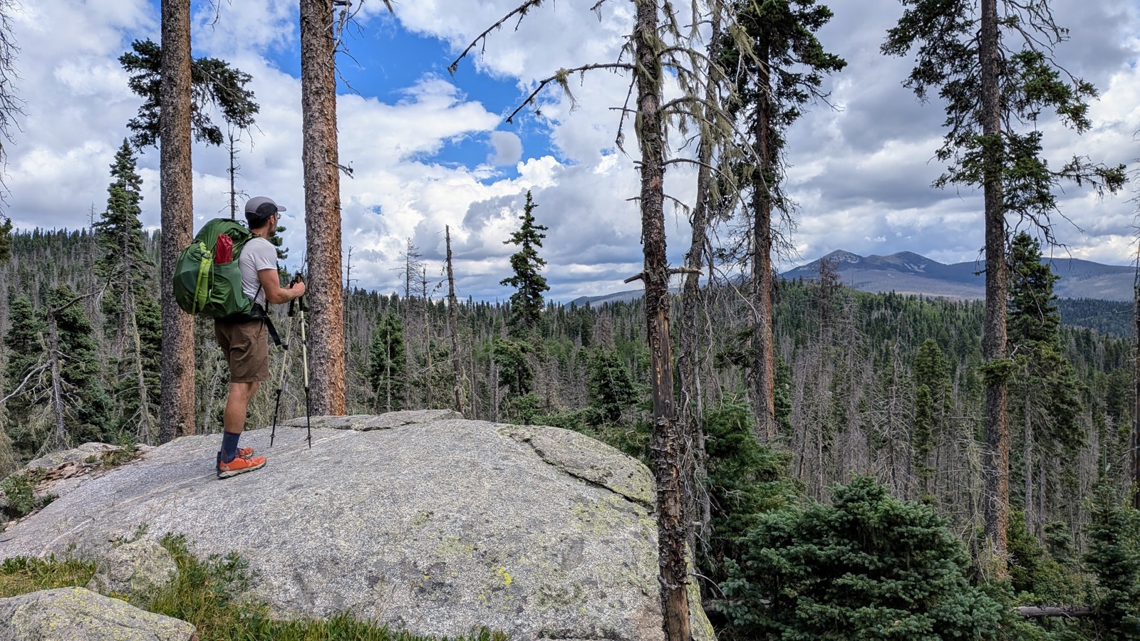 The descent toward Dockweiler, where Pam encouraged us to sit and contemplate the state of the forest.
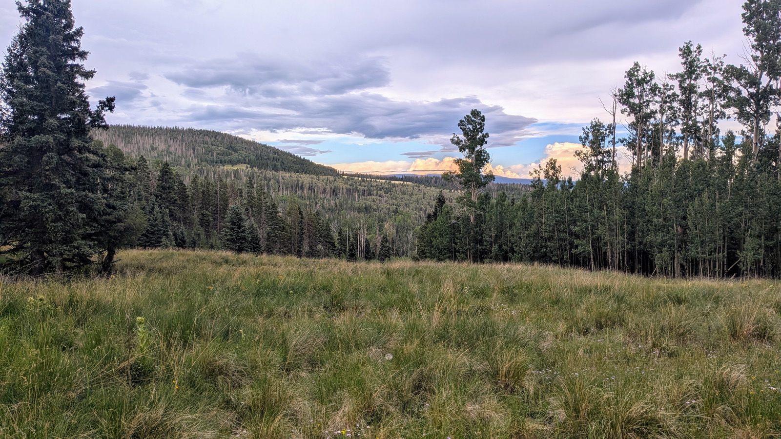 An open field along the Rito Perro Trail.
We ended the day near the primary Jack’s Creek campsite and dry-camped. It was one of the more unsettling camps of the trip: lonely, with animal bones nearby and animal sounds continuing through the night.
Day 4 - Friday, 2026/07/24: Jack’s Creek to Infinity Field
Daily mileage: about 14 miles
Cumulative mileage: about 56 of ~130 miles
Camp elevation: about 9,854 ft
Water: we filled before camp and dry-camped
This was the day we had to make it up into the Alpine zone, over the side of Trailriders’ Wall, through Marmot Barrens, and down the Santa Barbara Divide. We just barely made it to the treeline before thunder struck, as Tan will tell you below.
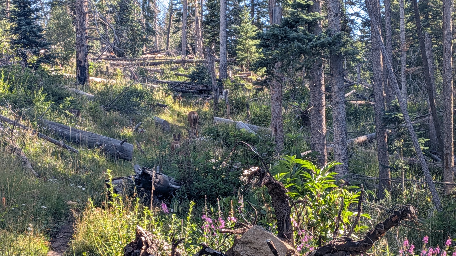 A pair of mule deer outside the burned woods on the climb out of Jack’s Creek.
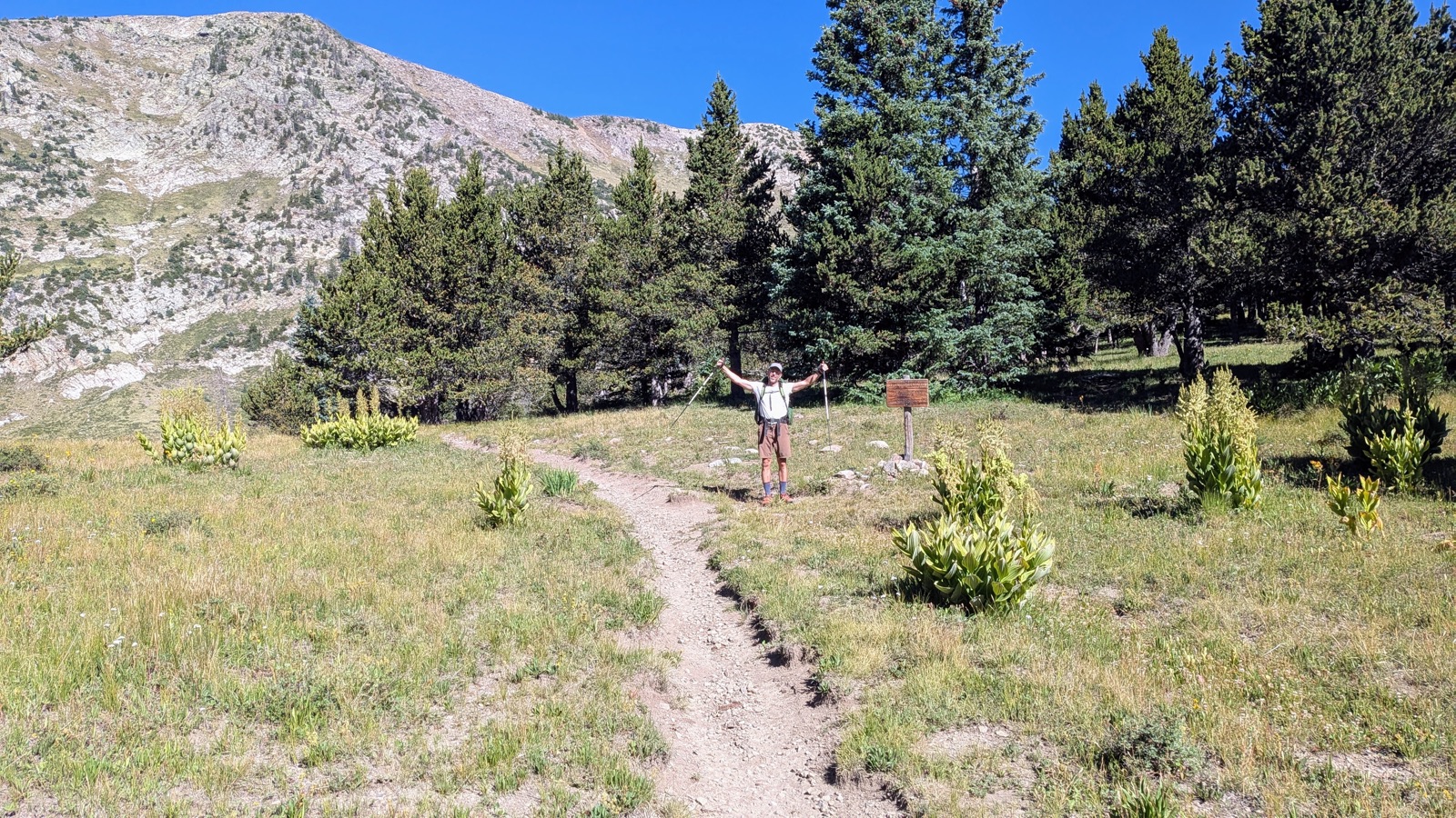 Reaching Pecos Baldy Lake and the alpine zone.
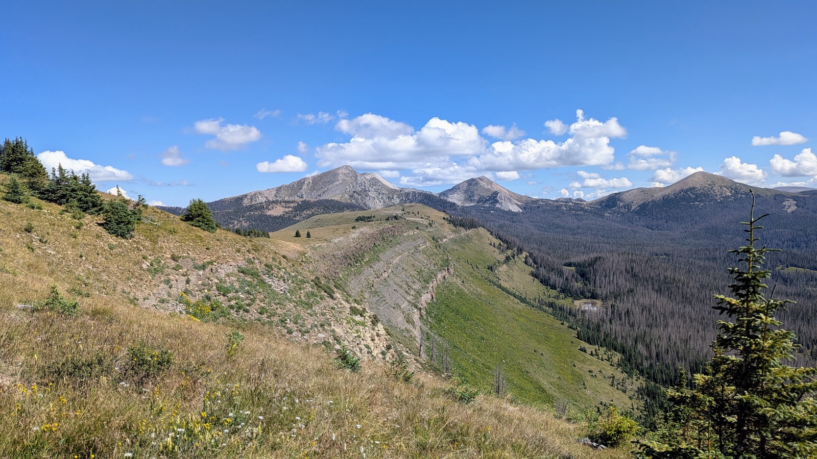 Trailriders’ Wall.
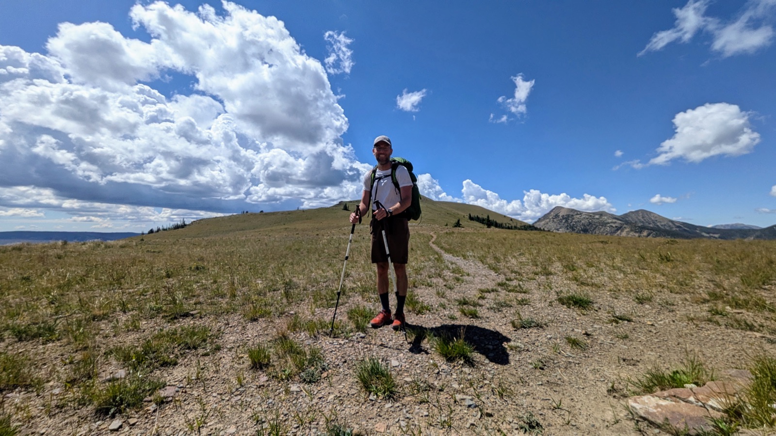 Buck, after crossing Trailriders’ Wall.
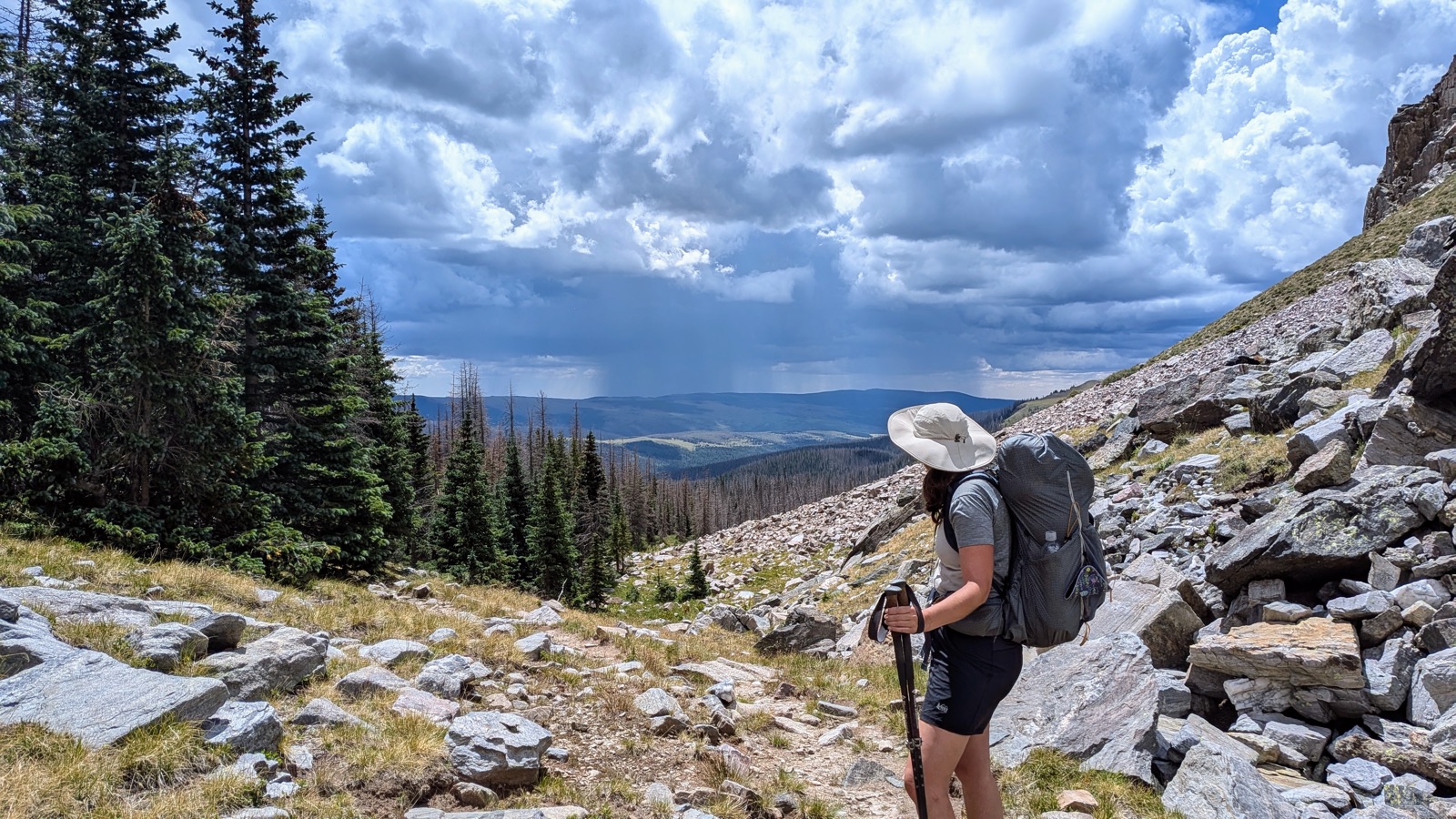 Tan at Marmot Barrens.
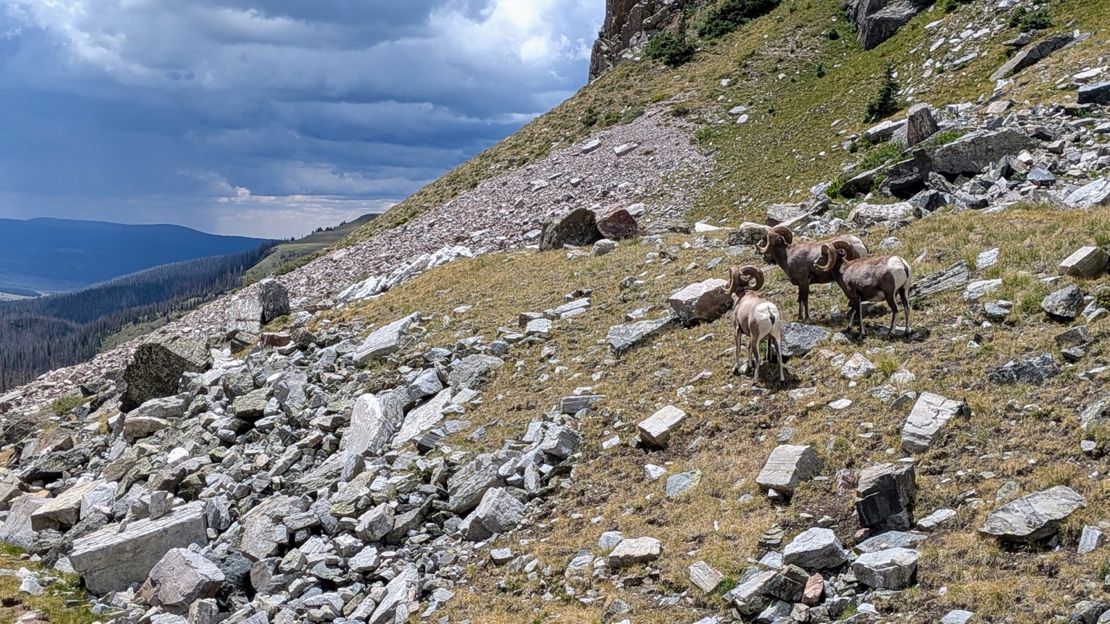 Three bighorn rams, after we gave them plenty of room to pass.
Yet despite the thunderclaps at our backs, passing over a divide was incredibly beautiful, to look back upon where we walked and toward where we needed to go. As Kate Wolf sang so beautifully: “It’s gone away in yesterday and I find myself on the mountainside, where the rivers change direction across the great divide.”
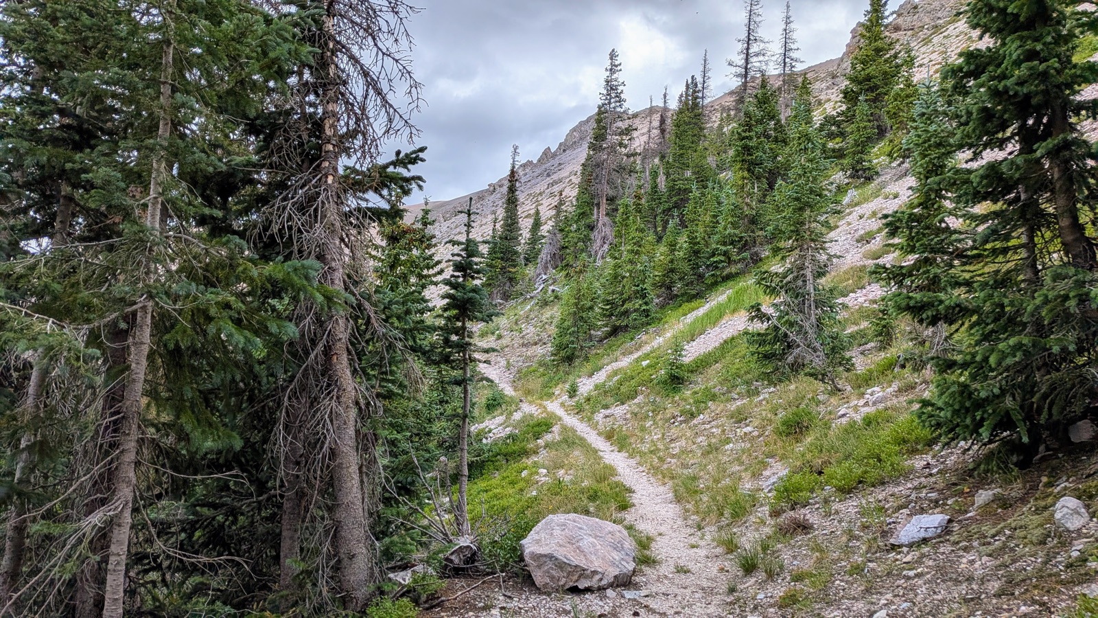 Looking back up at the Santa Barbara Divide, just before the lightning started.
This was the first of three consecutive days with major thunderstorms and heavy rain. Despite a rough day, Infinity Field itself was remarkably peaceful. The field was full of cows.
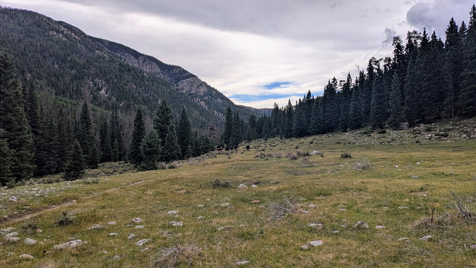 Infinity Field, full of cows and remarkably peaceful after the storm.
Around 8:00 p.m., Buck woke to coyotes howling. We dozed on and off through the night while the calls echoed through the canyon, and around 5:00 a.m. the coyotes started up again. That sound became the defining memory of the trip.
Day 5 - Saturday, 2026/07/25: Infinity Field to Agua Piedra Campground
Daily mileage: about 18 miles (estimated actual: about 16)
Cumulative mileage: about 74 of ~130 miles
Camp elevation: about 8,417 ft
Water: sulfur-tasting pump water at Agua Piedra; clear creek water before the storm, badly muddied afterward
The morning was beautiful. We hiked down through the canyon toward Santa Barbara Campground, where we took a long rest and ate macaroni and cheese near the river. Buck had Townes Van Zandt tunes on his mind, especially Two Girls (because “the clouds didn’t look like cotton–they didn’t even look like clouds”) and Pancho and Lefty.
From there we headed up the Indian Creek Trail in a drizzle.
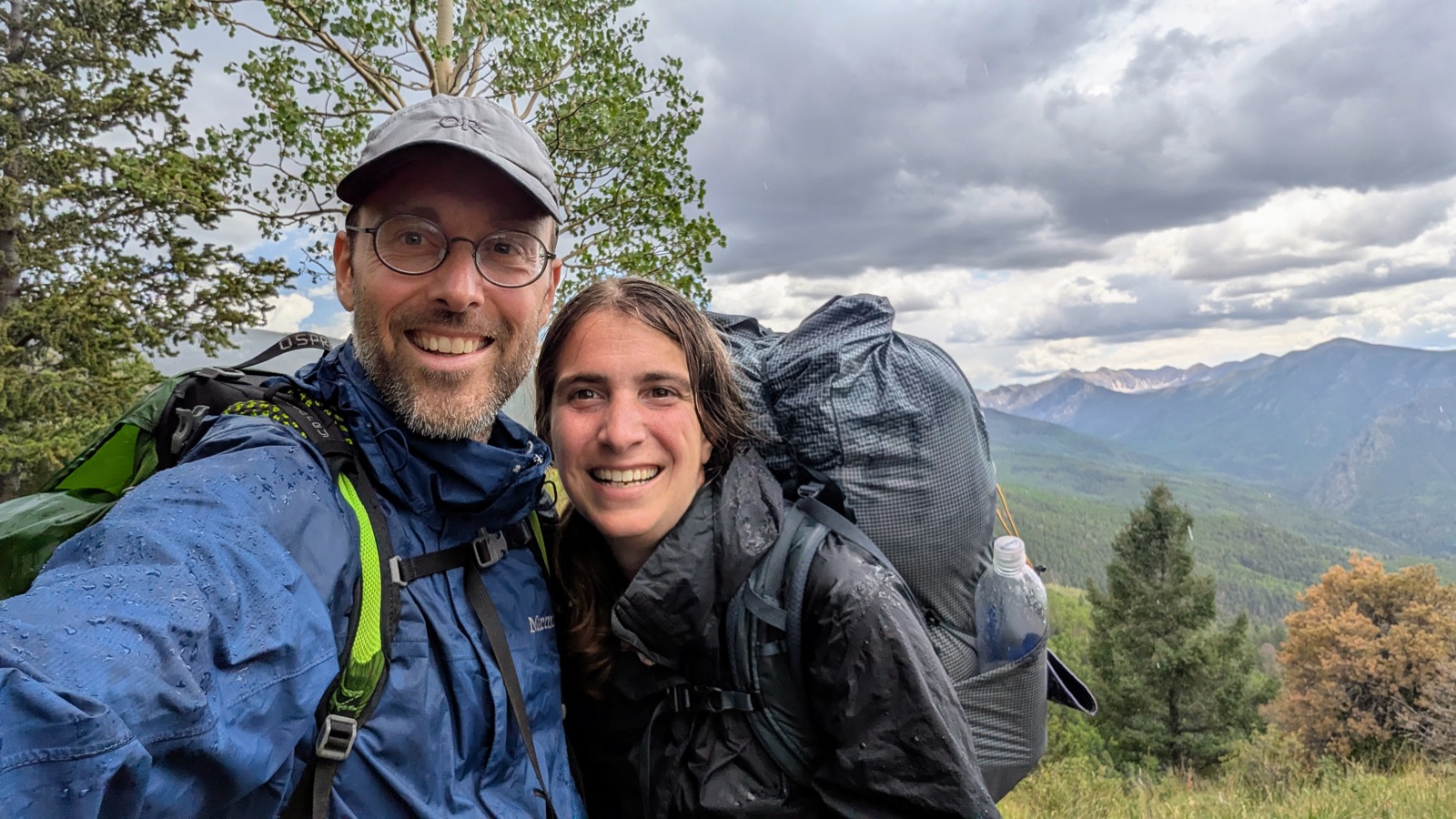 Looking back at the Santa Barbara area from the top of the Indian Creek Trail.
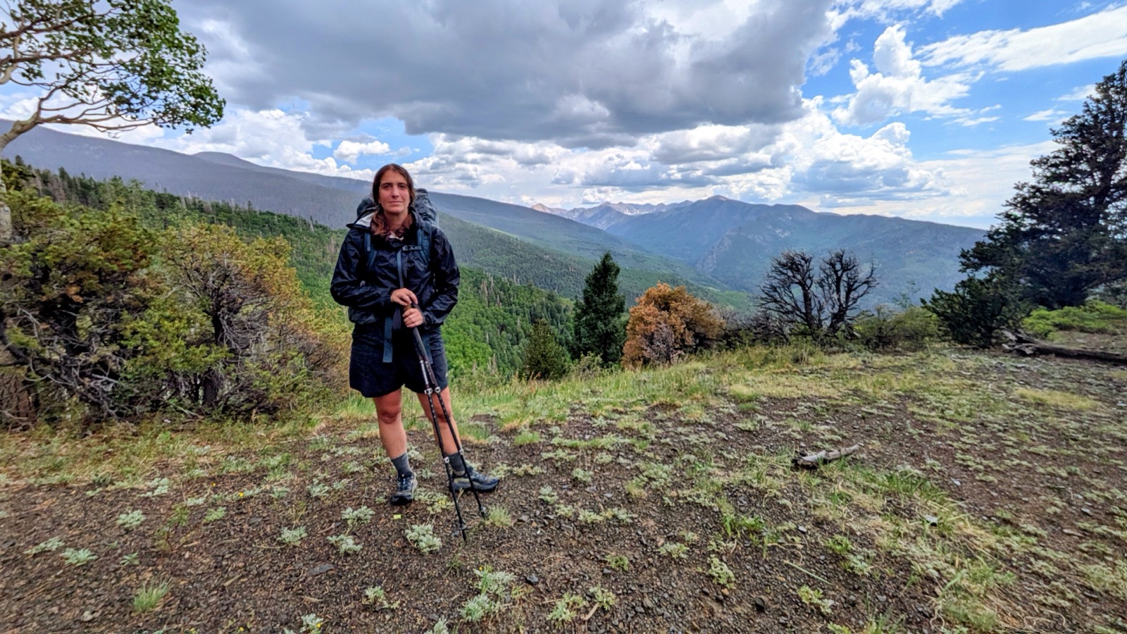 Tan at roughly the halfway point of the trip.
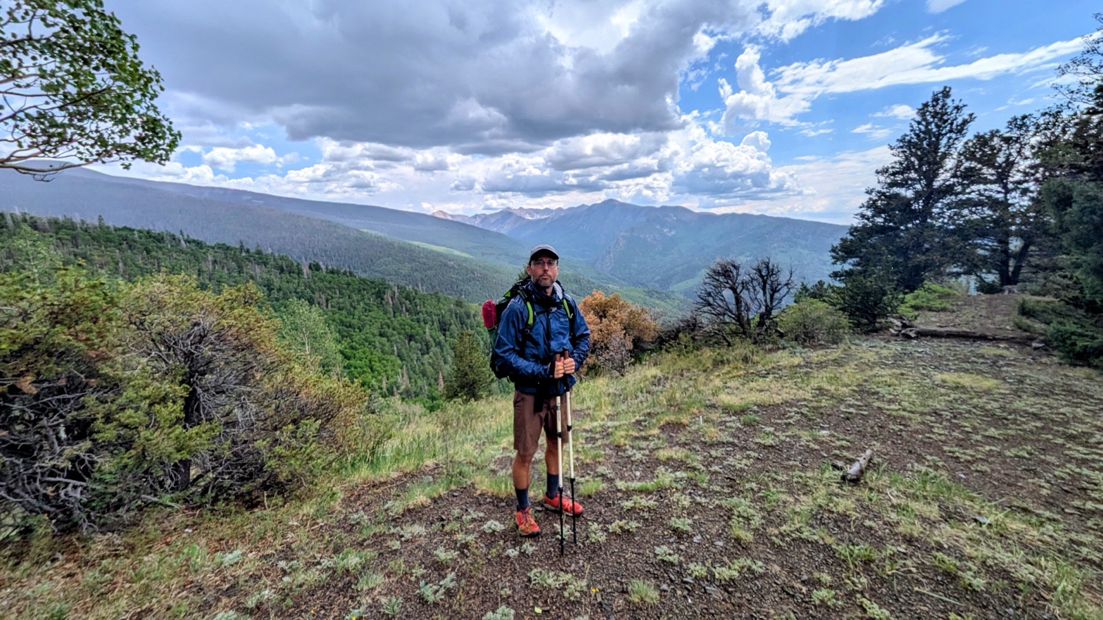 Buck at roughly the halfway point of the trip.
By afternoon, conditions deteriorated badly. We were completely exposed on the Comales Trail / FR 22 when another thunderstorm hit.
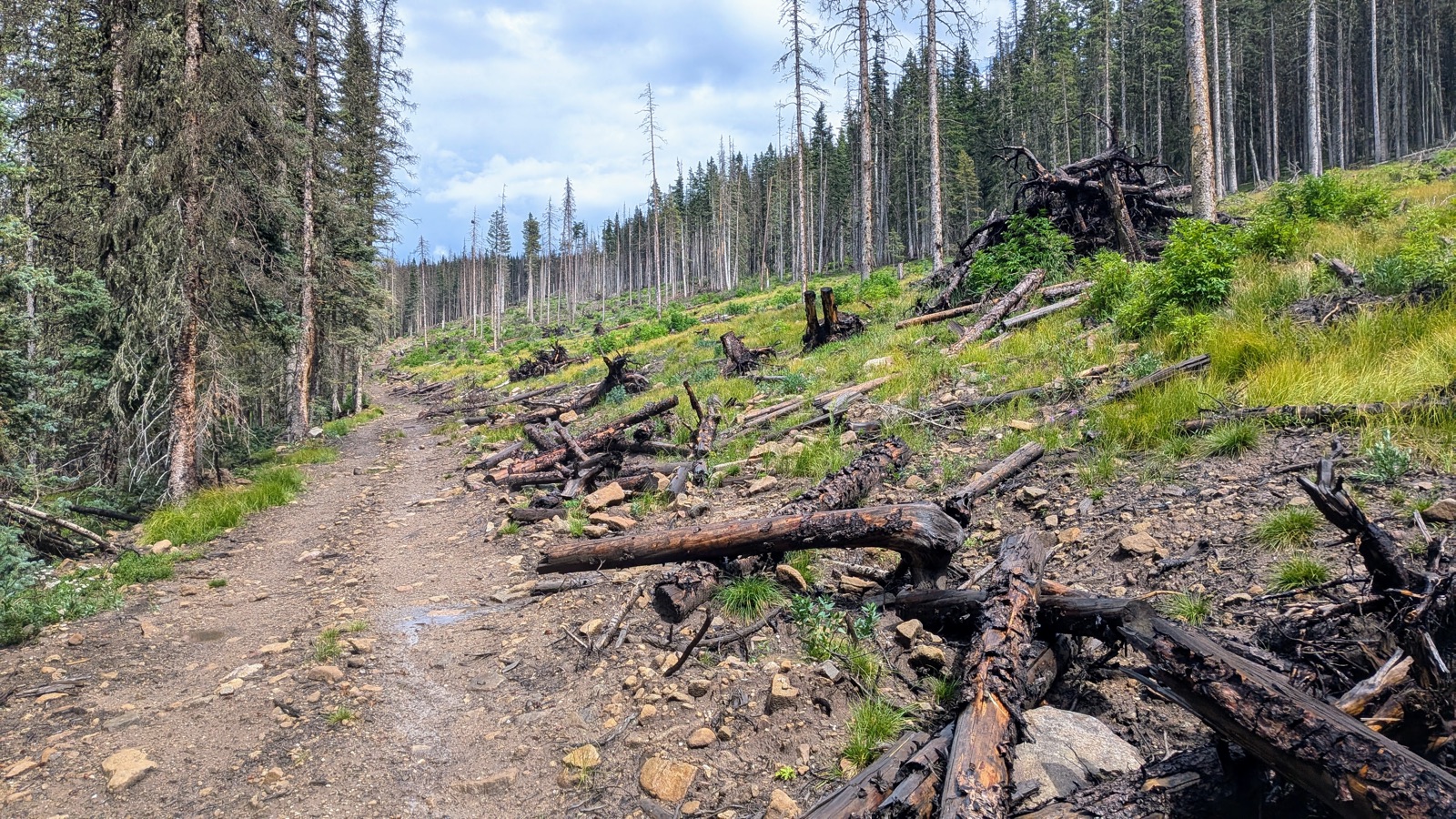 A brief break between downpours on the Comales Trail forest road.
We took the shortcut rather than climbing toward Ripley Point, probably shaving about two miles, but we still arrived at Agua Piedra drenched and spent the evening wet.
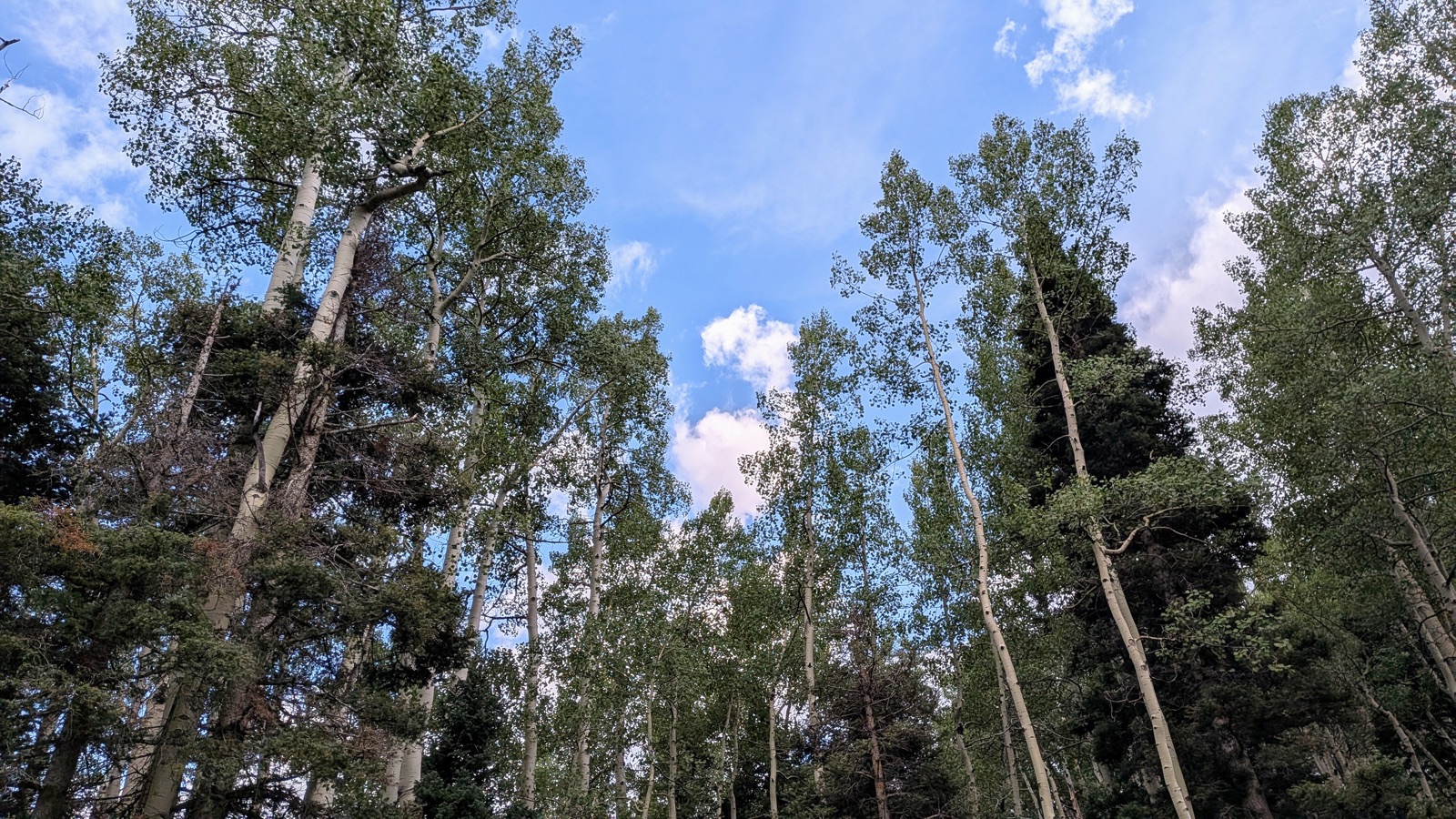 A calm stretch just before reaching Agua Piedra Campground.
At the campground we met Georgie and Nancy, with whom we later had dinner in Taos, and John, who made us Turkish coffee.
Day 6 - Sunday, 2026/07/26: Zero Day at Agua Piedra
Daily mileage: 0 (zero day)
Cumulative mileage: about 74 of ~130 miles
We took a full zero day to resupply and recover. The morning was hot and sunny, but even on a rest day we could not escape the monsoon pattern.
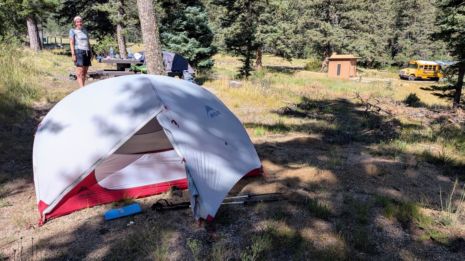 A hot, sunny morning at Agua Piedra Campground, before the weather turned.
A heavy downpour lasted roughly from 2:00 to 4:00 p.m., and the rest of the evening stayed wet and overcast.
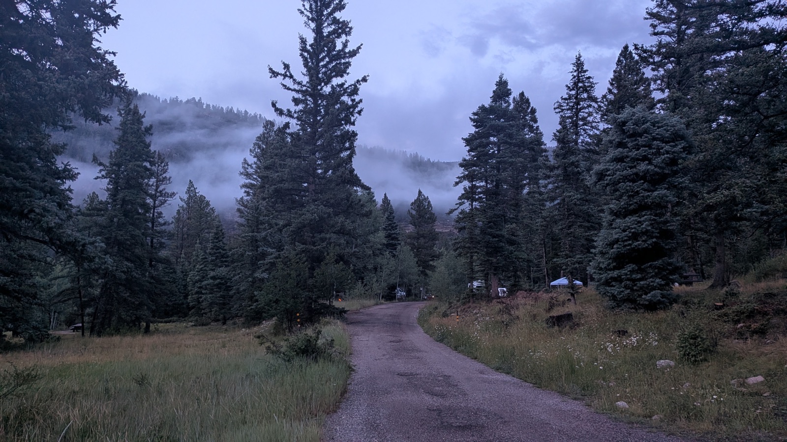 The storm that rolled in during our “rest” day.
We also met Kevin, an Oklahoman who offered us canned peaches and lemonade.
Day 7 - Monday, 2026/07/27: Agua Piedra to Fish Gate
Daily mileage: about 21 miles (estimated actual: about 19)
Cumulative mileage: about 95 of ~130 miles
Camp elevation: about 9,000 ft
Water: Rito de la Olla
This was the first of our final big pushes. We used alternate routes, including FR 422, and rejoined our trail group.
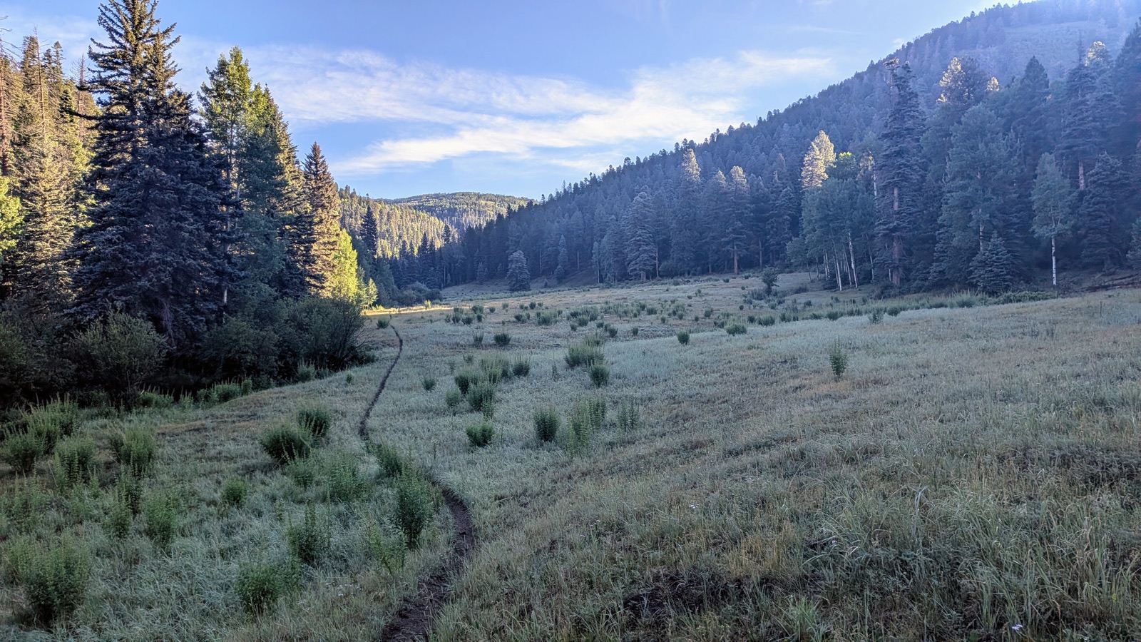 Cueva Field.
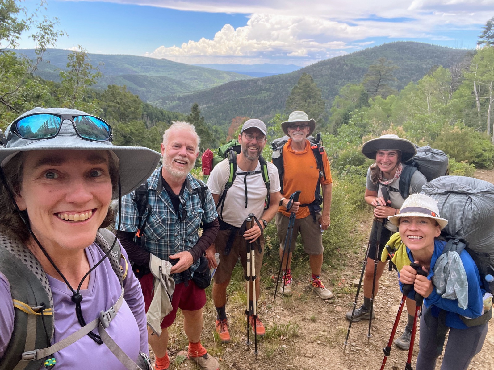 Rejoining our trail group along the alternate route FR 422.
Cobbler was no longer hiking after hurting his ankle and had instead become a trail angel.
The mapped day was about 21 miles, but because of the shortcuts we estimate we actually walked closer to 19.
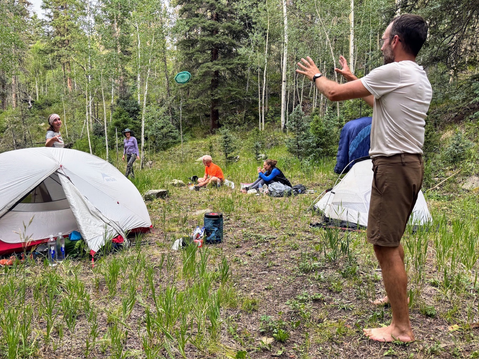 Camp at Fish Gate.
Day 8 - Tuesday, 2026/07/28: Fish Gate toward Drake Canyon
Daily mileage: about 20 miles (estimated actual: about 14)
Cumulative mileage: about 115 of ~130 miles
Camp elevation: about 7,700 ft
Water: Steve brought water to camp
We made another long push on alternates and ended at the dry campground near Drake Canyon that Pam had described as “a little rough people-wise.” The description felt apt: there was broken glass, spent bullet shells, and dead or dying cottonwoods along the dry Rio Chiquito.
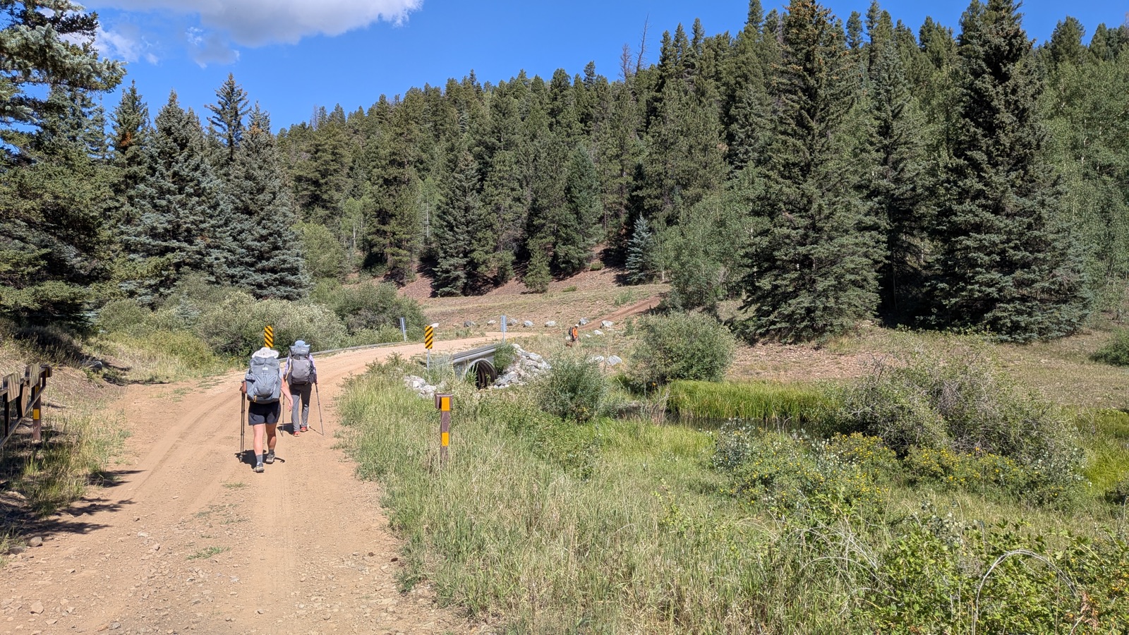 The bridge over the dry Rio Chiquito.
The day had its rewards. We saw numerous beaver dams, and Steve (Cobbler) appeared with water, beer, and cake for an evening trail party.
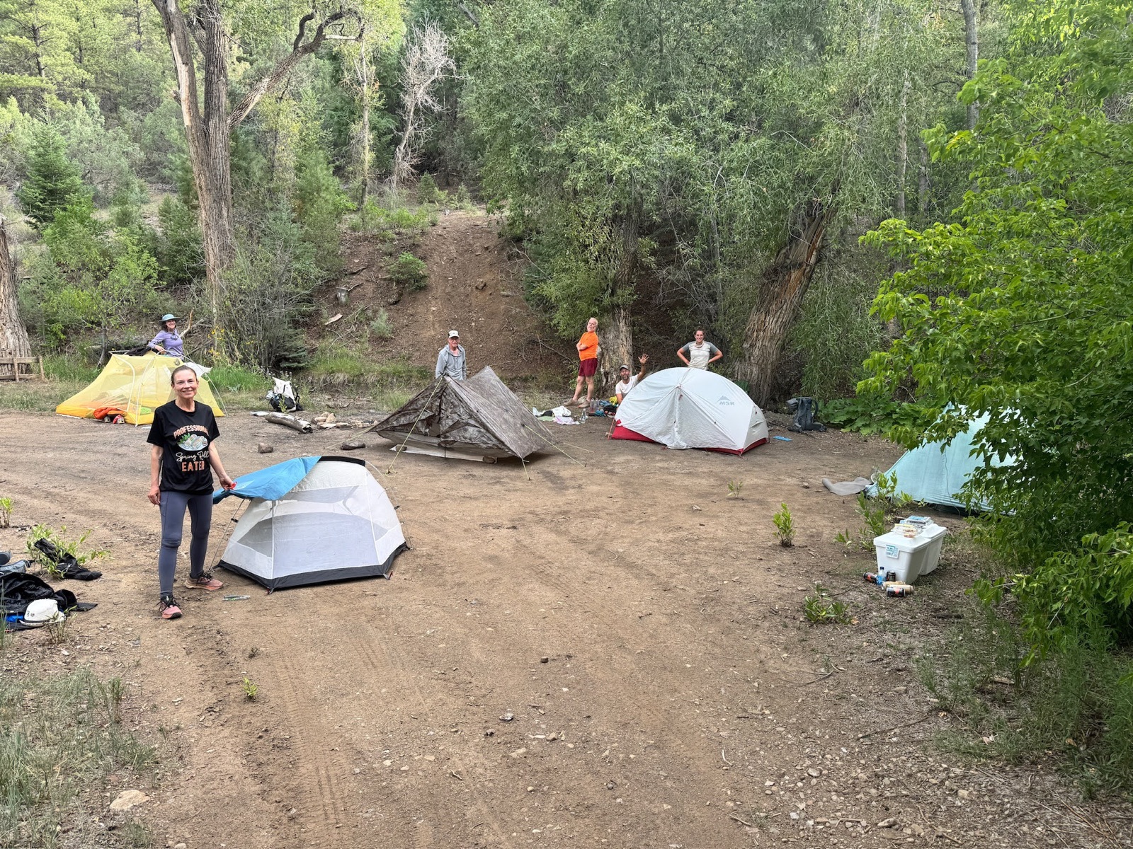 An impromptu trail party near Drake Canyon, courtesy of Cobbler.
Again, the mapped mileage overstated what we actually walked; we estimate about 14 miles rather than 20.
Day 9 - Wednesday, 2026/07/29: Into Taos
Daily mileage: about 14 miles (estimated actual: about 12)
Cumulative mileage: about 129 of ~130 miles
Our last day was a relatively short finish into Taos. We reached the Taos Cow at around 12:30 p.m. and marked the end of the trip with breakfast burritos.
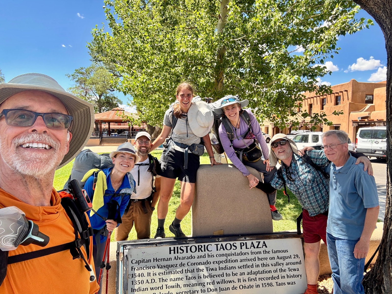 We made it to Taos Plaza.
Conditions and Trail Character
The route varied substantially in how developed it felt. Trails within the Pecos Wilderness were generally well marked, and most forest roads were also reasonably easy to follow. Some overgrown or less obvious sections required more attention, though Pam’s route information helped. Our one clear navigation mistake was following a deer path for about an eighth of a mile on the descent toward Agua Piedra before recognizing that we had left the route.
Weather became a defining feature of the middle of the trip. We experienced three consecutive days of thunderstorms and heavy rain, including exposed hiking on Comales Trail and a two-hour downpour during our zero day. The combination of high country, afternoon storms, and long route segments made early starts and flexible routing valuable.
Notes for Future Hikers
Navigation
Carry Pam’s guide and GPX, and make sure the track is available offline. We used OsmAnd. The main route is often straightforward, but some overgrown or lightly traveled sections demand active navigation. The available alternates helped us whenever weather, trail condition, or mileage made the primary route less attractive.
Water
Pam’s updated water information was crucial. We learned that Little Tesuqueue Creek, Jack’s Creek, and La Cueva Lake, were dry, allowing us to plan ahead accordingly.
Food and Resupply
We carried far too much food. Our single resupply added more than we needed, and we gave away much of it. Appetite at altitude and under sustained exertion can be unpredictable, so our experience argues for being conservative about how much food to add at resupply if you are already carrying a surplus.
Weather
Mornings were beautiful. Most of the nine days were excellent. We had three successive days with thunderstorms, including one period when we were exposed and soaked. Early starts and a willingness to take alternates were important.
Transportation
The Blue Bus 300/200 made a point-to-point hike unusually easy. We used it from Taos to Santa Fe before the hike and again to return to Santa Fe after spending a couple of nights in Taos.
Overall Impression
A beautiful trail overall. Pam has clearly accomplished something extraordinary. We are very grateful. The trail’s strongest quality was the succession of different landscapes: city edge, mountain forest, alpine lakes, high passes, canyons, creeks, open fields, forest roads, and finally the approach to Taos. It also had enough rough edges - route-finding, long connectors, road walking, weather exposure, and dry stretches - to feel less like a conventional, fully standardized long-distance trail and more like a developing route that rewards flexibility.
That was part of its appeal. The trip gave us both sustained solitude (e.g., we saw only one other person over a 48-hour stretch, from Stewart Lake to Santa Barbara Campground) and a surprising amount of trail community, from the hikers we repeatedly crossed paths with to the people we met at campgrounds. If there is one memory that recalls the route for Buckaroo, it is Infinity Field at night: cows settled in the grass, canyon walls in the dark, and coyotes calling from all sides. But that’s enough from Buck; let’s hear from Tumblin’ Tan.
Appendix: Tumblin’ Tan’s Trail Journal
While Buck wrote the above trip report retrospectively, Tan added entries to her journal each night, describing the events and experiences of the day. The notes below are transcribed from her handwritten journal.
Day 1 - Santa Fe to Borrego Trail
Beautiful to start in Santa Fe after taking the bus from Taos.
This was a long, hot climb out of the city, first surrounded by beautiful homes, then homes with views, then less and less infrastructure.
It was hot until we reached the Winsor Trail and water at Big Tesuque Creek.
Day 2 - Borrego to Lake Katherine
We climbed 4,400 feet today!! It was long and hard, yet only 9 miles somehow. Lake Katherine is beautiful and we met another lovely couple, Leslie and Steve, who came out from Texas for a few days.
Day 3 - Lake Katherine to Jack’s Creek Campground
Buckaroo woke up in rough shape today, having worried that we spent the night in the middle of the trail. (We did.) We took the morning slowly before beginning on a long decline that lasted most of the day.
Towards the end of the evening we arrived at our campsite to find that it wasn’t a campsite, only a field with mole hills! Unhappily, we hiked on (especially Tumblin’ TAN) until we found a dry creek and creepy campsite that we made work.
Day 4 - Jack’s Creek to Infinity Field
Today was EPIC. It’s the day we had to hike up and across the alpine zone. In the morning, on the way up, we heard the wind-wails of burned trees.
Then we entered the alpine zone and had a beautiful morning at Pecos Baldy, seeing some amazing views.
Then things got a bit strange and difficult. We passed an inflated dead cow on the side of the trail.
Then we turned a corner and there were three huge bighorn sheep. We had been warned that they can be territorial, so we booked it up the side of the mountain to try and get a safe distance from them. After the three rams consulted with each other for longer than I cared to wait, they calmly walked down the trail, past us.
We made it to the next lake, Truchas Lake, and heard someone shouting. He was the first person we had seen in 24 hours. Jeff had lost his dog, Major, who had been swimming in the lake and then ran off. Jeff was very worried and sad, but thankfully, 45 minutes later, Major came running down the path. It was great to see them reunited!
Now it was 1:30 p.m. and we had to get over the divide before the afternoon storm hit. It was beautiful on the top, but that was followed by some scary switchbacks on the other side of the divide.
We made it to the treeline and triumphantly took a break. Unfortunately, our peace was short-lived, as the storm that chased us all day was again right on our heels.
TAN took off hiking with Buck not far behind when a huge lightning bolt and thunder hit. Buck caught up with TAN and they took off running, trying to get to lower ground. The storm continued and the pair “hauled ass” down the mountain for 5 miles in the thunderstorm. It was scary.
Funny enough, this crazy day ended in a peaceful cow pasture surrounded by about 20 sleeping cows. Hopefully they don’t get too curious about us tonight!
Day 5 - Infinity Field to Agua Piedra Campground
The cows didn’t bother us even once last night, but we did wake up a few times hearing the coyotes yap, yell, and howl. The yaps and howls echoed off the canyon and sounded like we were surrounded by coyotes on all sides.
We had a relaxed morning, hoping to recover from yesterday’s adventures.
The hike into Santa Barbara Campground was beautiful, and we arrived on a summer Saturday with lots of people and joy all around. But, as we’re coming to learn, all victories are short-lived in the mountains above Santa Fe, and it started to rain about 20 minutes after we arrived.
We took a lunch break under a tree and then began another hard hike up, up, and up! We took the “alternate” route, which was supposed to be easier, but got caught in a huge downpour as we hiked up a steep fire road.
Fearful from our thunder experience the day before, we jumped off the trail to hide under the trees for about 45 minutes.
Once again we were soaked, cold, tired, and climbing. Morale was low and we discussed bailing on the trip. Buck’s ankle also wasn’t feeling great.
Luckily, we had an easy hike into Agua Piedra Campground and we were spared more storms. The people are kind and curious about our adventure, with one offering to host us in Taos when we arrive on Wednesday!
Zero Day at Agua Piedra
We are taking a “0” day today to resupply and then will push out three hard days to get there. We are going to plan for storms, aiming to leave early each day and hike on despite the weather. We are tired but hopeful that we can make it to Taos!
Day 7 - Agua Piedra to Fish Gate
It didn’t rain today and we were so grateful! We finally started early, around 6:20 a.m., and took on the first hill, which was hard.
Then the rest of the day was easy on a fire road. About 4 miles into the 8-mile road walk, we ran into our group of friends we met on the first day and hiked the rest of the day with Rolf, Eric, Elizabeth, and Mary.
Fish Gate was a beautiful campsite and we welcomed the company after a number of days on our own. It was a 20-mile day for us!
Day 8 - Fish Gate to Drake Canyon
This was a lovely 15-mile hike through the Taos forests.
It was beautiful and easy, as it was mostly downhill! Tan was tired from yesterday, but we continued to hike with our new friends, which helped pass the time.
We are 12 miles from Taos and will finish tomorrow!!